


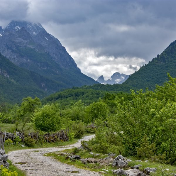
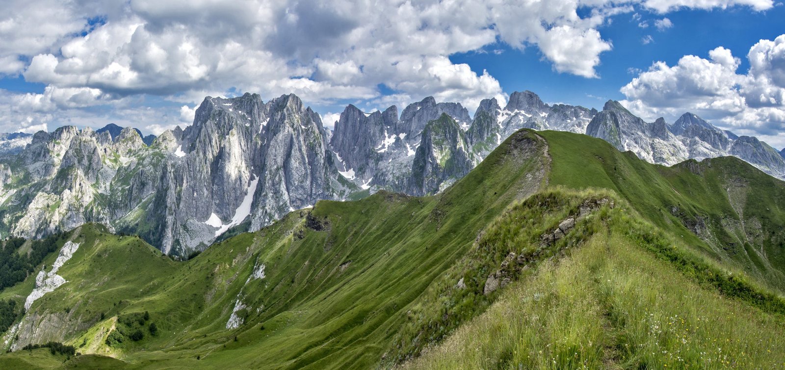
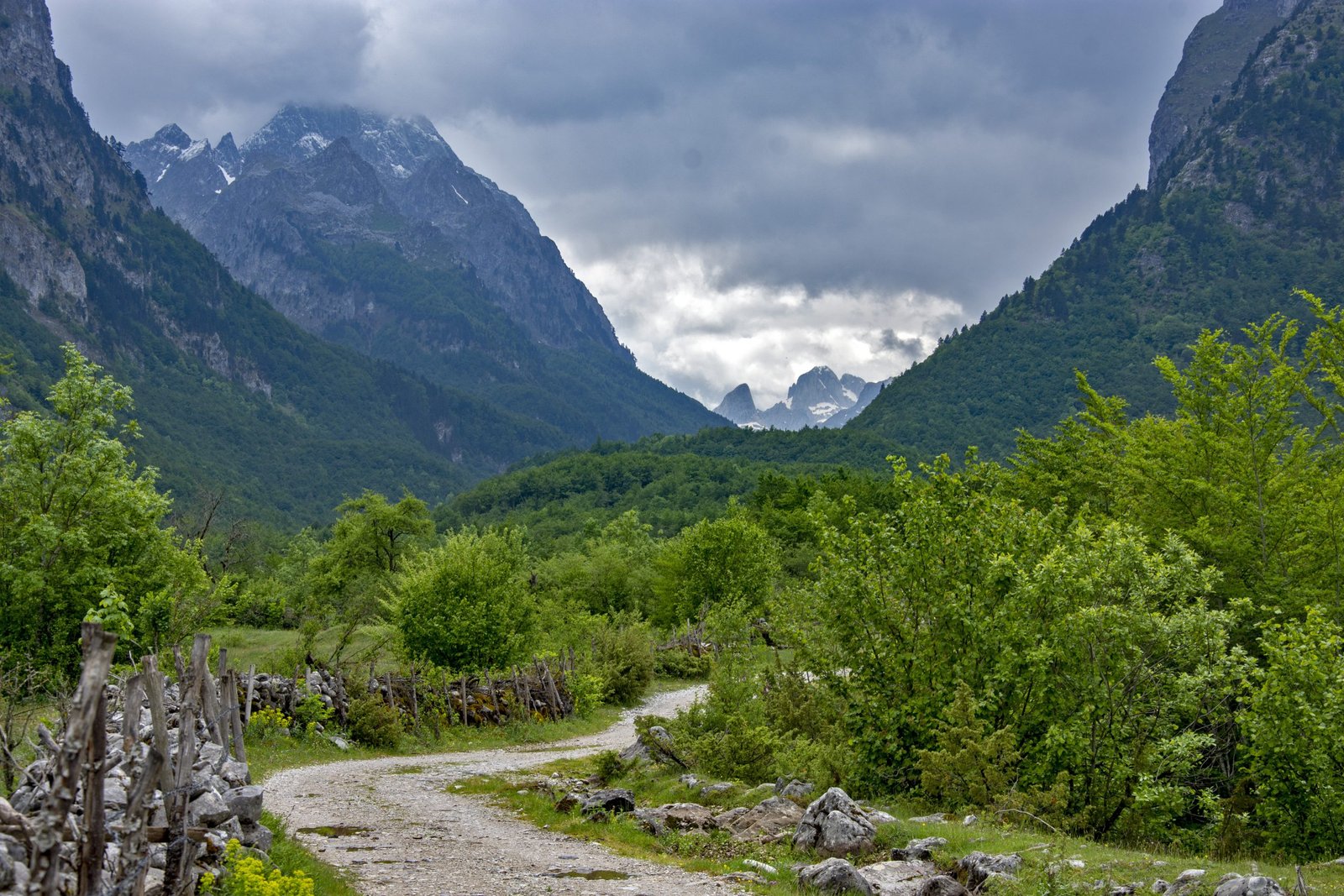
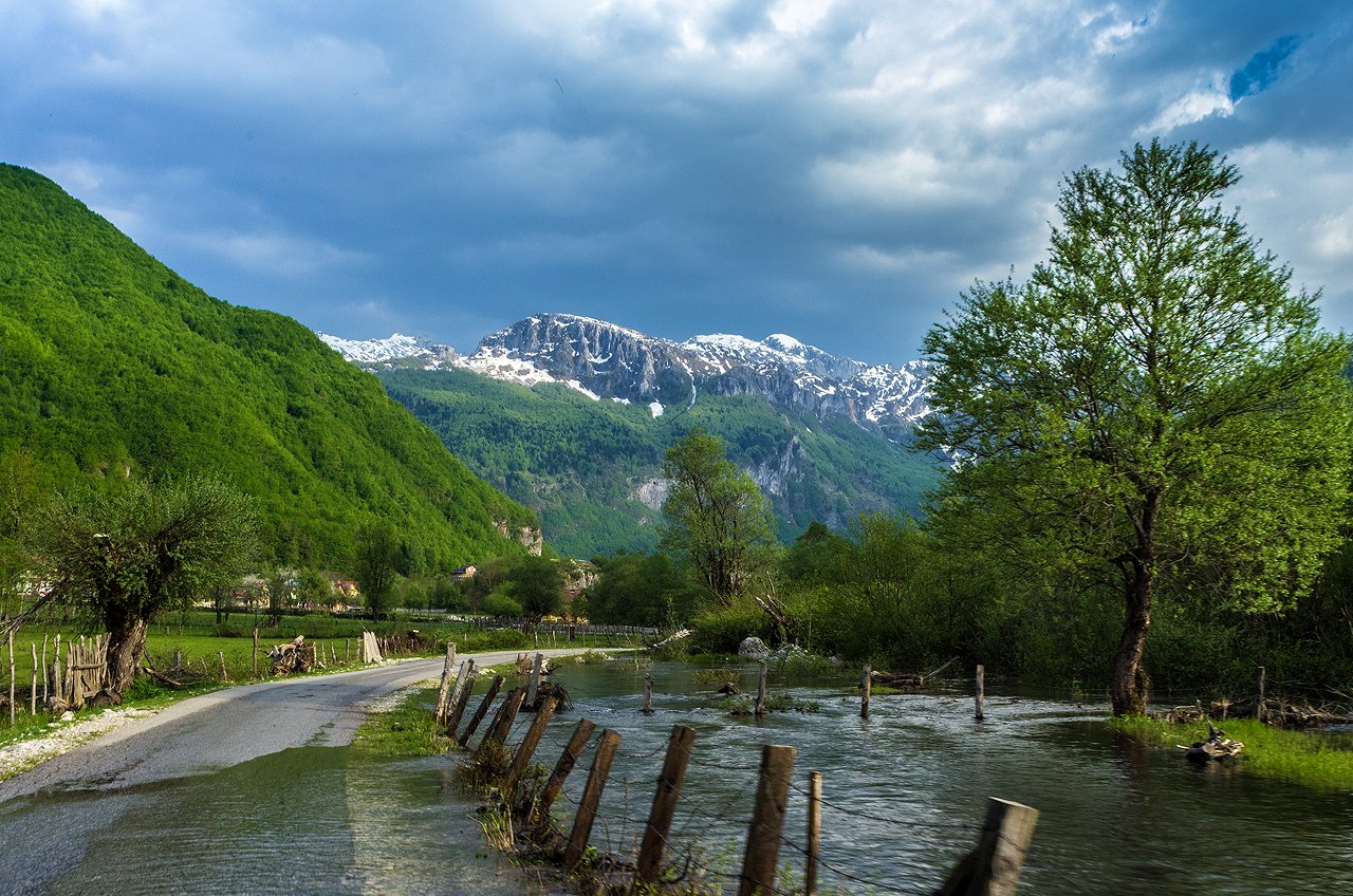
High mountain wreath Prokletije is located at a juncture of the Dinarides mountain system and Shar Mountains, precisely, at border zone between Balkan countries – Montenegro, Kosovo and Albania. It stretches to more than 3500m2 and is around 650km long. The Prokletije Mountains represent one of the most entangled, inaccessible areas, but also one of the most wonderful mountainous massifs in the Balkan Peninsula. They comprise of more than 40 mountain wreaths intertwining and traversing, filling the space between Zeta basin on the south, Drin meadow on the east, Metohija basin on the north and Plav-Gusinje basin and meadow of upper Iber River on the west.
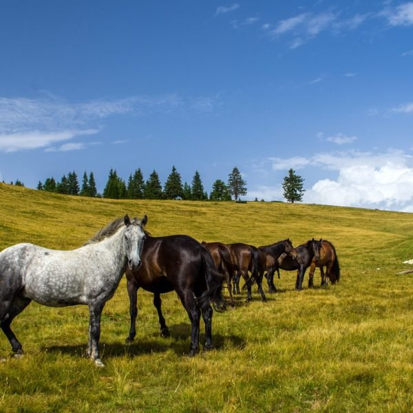
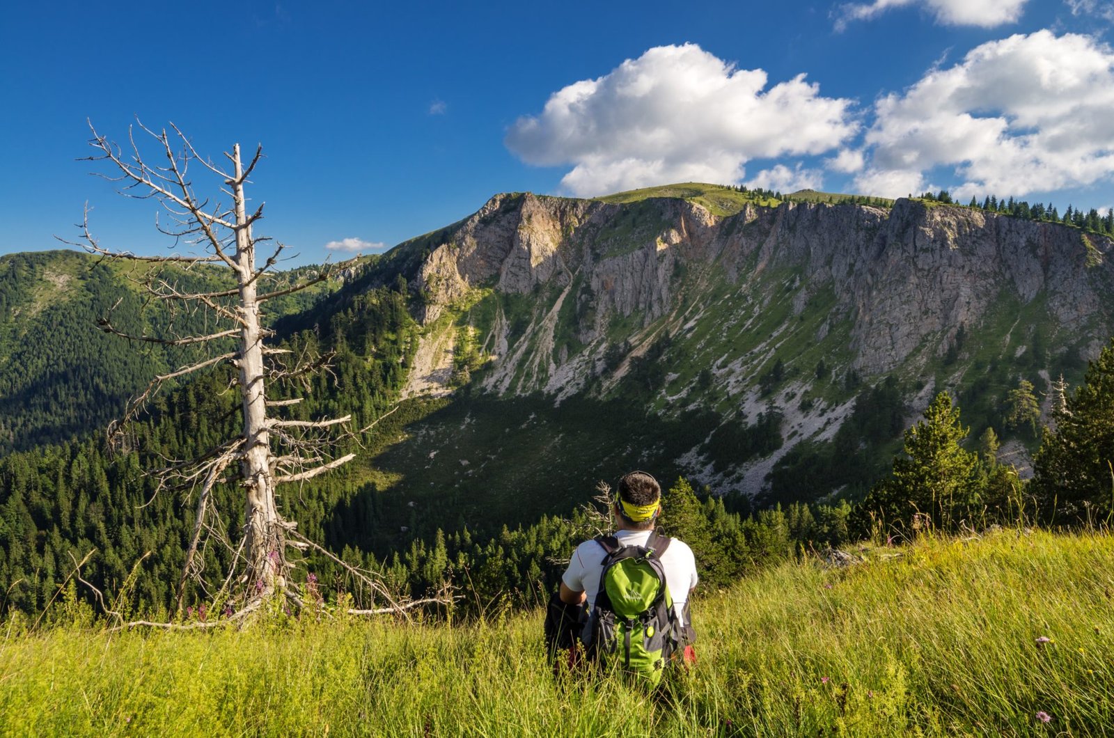
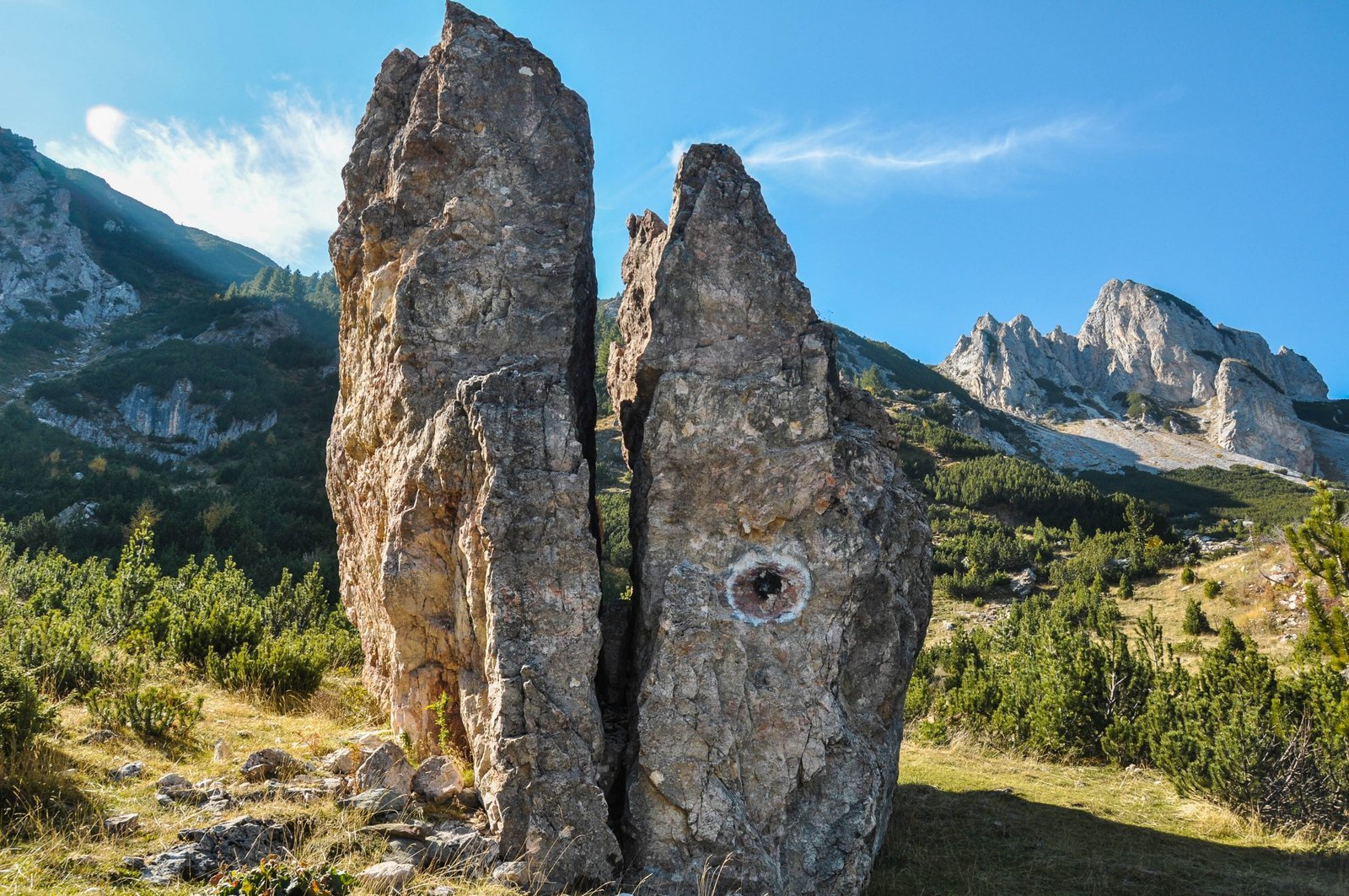
Jovan Cvijić, a famous geographer had described the Prokletije Mountains in 1913 as a wilderness that instills anxiety and fear. Ami Boué, Austrian geologist, was the first European explorer to visit this area and dubbed it as the “Alps of the Southern Europe”. Precisely, due to the rugged landscapes, wild, almost inaccessible nature, sharp and jagged peaks, the Prokletije Mountains got their name, which is associated with the cruelty of this massif and the hard life of people living nearby. On the other hand, the visual impressions you get when you first meet the Prokletije Mountains, very quickly changes the knowledge about the natural beauties of this area, including beautiful lakes, pastures and forests of this area. The border position of the Prokletije Mountains and the relatively poor traffic connection with the surrounding places have made these mountains still a very interesting and inexhaustible source of exploration of intact nature, especially attractive to nature lovers, mountaineers, hikers and alpinists, that is, people with an adventurous spirit.
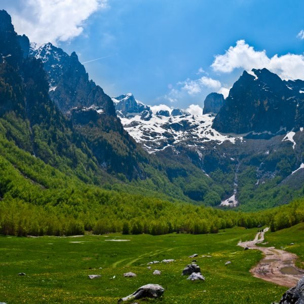
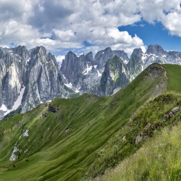
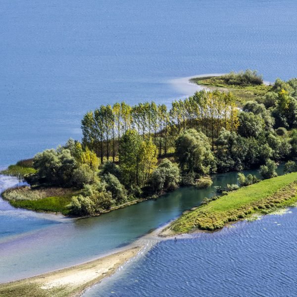
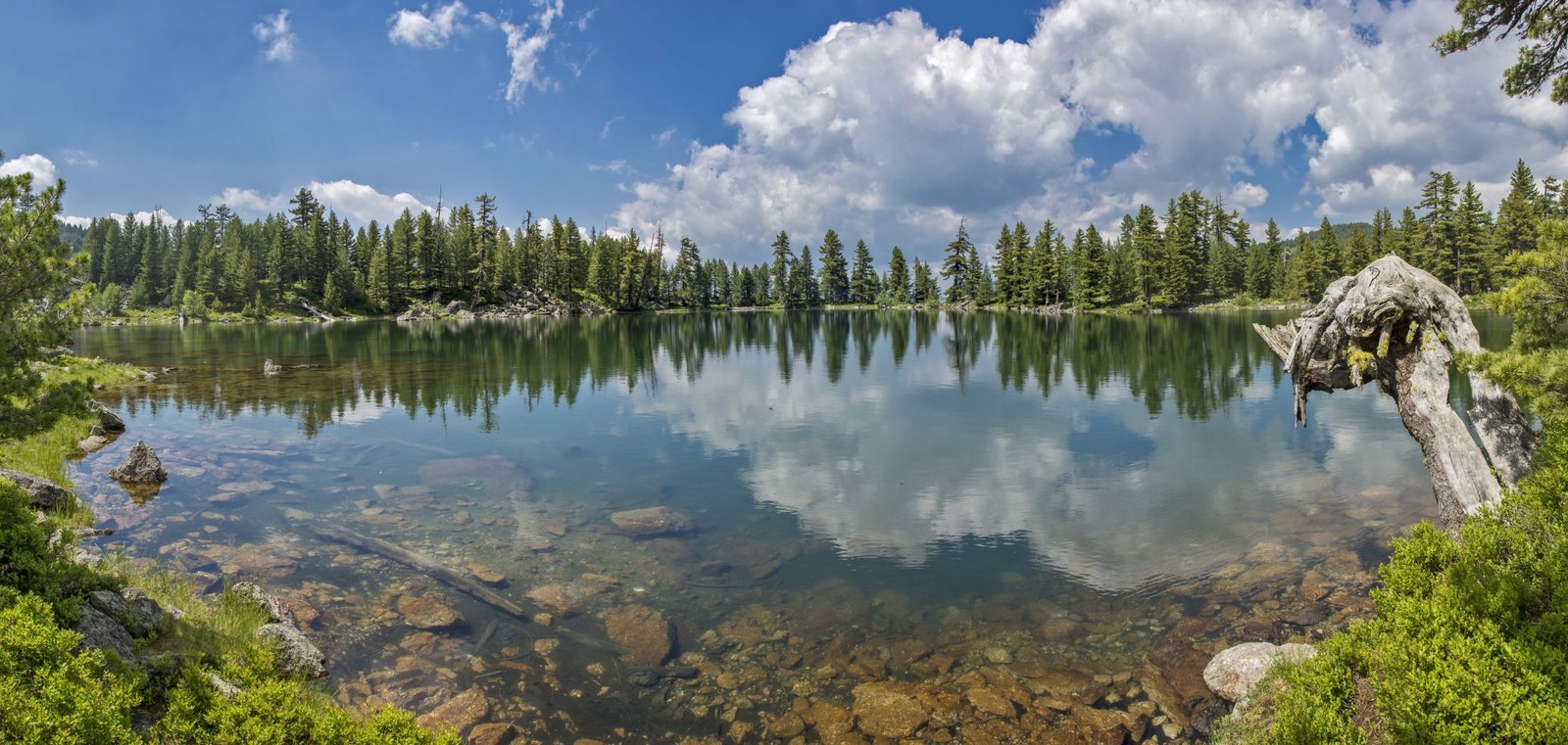
Bogićevica occupies a central place in these mountains massifs surrounded by with the neighboring high ridges where the highest peak of Maja Jezerce rises (2694 m altitude in neighboring Albania). Going to the south, the mountain ridges turn into lower and lower wreaths that are constantly sinking towards the Scutari Lake. On the north side, the Prokletije Mountains massif splits into two special mountain ramparts that encompass the Metohija valley on three sides. The three highest peaks of the Prokletije massif in Montenegro include Zla kolata, 2534m altitude, Maja Kolata, 2528m altitude, Maja rosit, 2524m altitude, Maja e Gjeravicës, 2656m altitude, Maja e Marjashit, 2530m altitude and Maja e Ropës with 2505m altitude. The action of the glacier left the deepest traces on today’s appearance of the Prokletije Mountains. In the past, the largest glaciers moved from central ridges of the Prokletije Mountains, the Vrmoša valleys, Grnčar and the Plav-Gusinje basin, while today there are no permanent glaciers in the Prokletije Mountains. The largest of them, 35 km long, ended at the place where Lake Plav is located today – the largest glacial lake in the Balkans.


