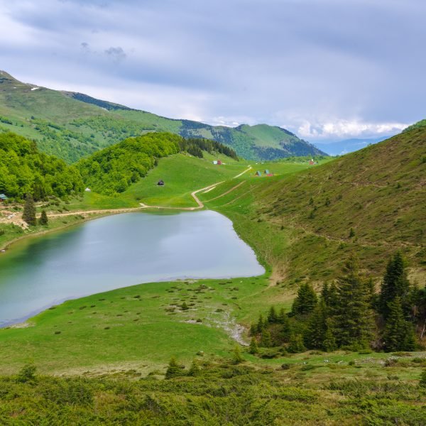
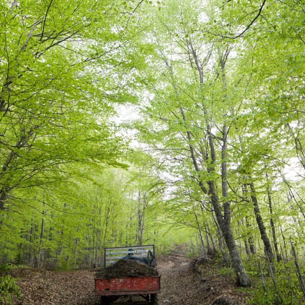
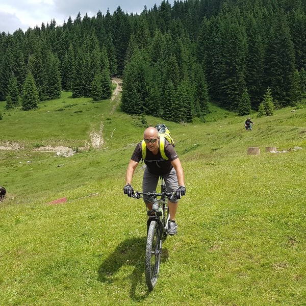
The territory belonging to the municipality of Berane is very attractive for mountain biking and hiking. It is enough to say that a large part of the fabulous mountain Bjelasica, including its highest peaks and the five glacial lakes belongs to Berane municipality, and if we also mention mountains Mokra and Cmiljevica, it is clear that the statement above is no propaganda exaggeration. All three mountains are characterized by large complexes of forests and endless pastures on which the numerous katuns are scattered while there is an abundance of spring wells and water flows. The whole story is further adorned with pretty villages that lie on mountain slopes, which can be interesting to fans of rural tourism while the river Lim which is ideal for kayaking and rafting becomes a bathing site in the summer with countless isolated beaches.
Berane biking routes are designed to support the development of rural and mountain tourism, which is only beginning to develop in this region. The network includes a number of villages, spring and summer katuns, beautiful mountain landscape and they are intended primarily to tourists. Apart from the first route, each requires considerable level of physical condition and are not designed so that they can be easily conquered by beginners. Some of these routes are a real adrenaline challenge and an adventure gem.
If you have mobile Internet, GPS track can be downloaded directly by reading QR codes from any of the pictograms and imported it into the navigation applications. If you do not have Internet access, by reading another QR code you can get a route itinerary which will enable you to navigate easily with the help of printed map. If necessary, you can also use the web site www.pedalaj.me as navigator, and in addition there are information boards with maps at the starting positions of the trails containing all the necessary information.
All biking routes in this region are entered in OSM database, so they are visible in the Open Cycle Map and on Waymarked Trails: Cycling, and if you have any of Garmin devices, we recommend that you use the map ROUTABLE BICYCLE, which we update regularly.
It is recommended that you ride these routes in company. Due to the challenging terrains the bicycle service equipment it required, and, besides carrying a GPS device (in case it fails) it is desirable to have a compass and a printed map.
One of the top biking trails – Enchanting East (TT3) passes through the territory of the municipality of Berane as well as new beautiful Katun route that connects the border mountains Cakor, Mokra, Cmiljevica and Hajla, which is equipped with free camping sites and the complete route is well marked with signalization.


