


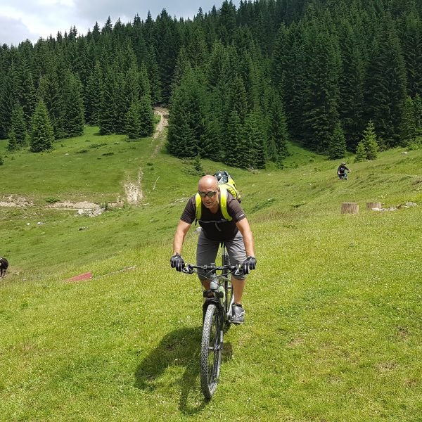
A tour made for fit cyclists: it will provide many pleasurable moments, but only if you do not spend all your time struggling with the ascent and racking up the kilometres.
The start is the same as with Route AN 02: from the centre of Andrijevica head along the road towards Berane and after 900m turn left onto the road to Trešnjevik. However, at the junction at which we arrive after 1.9km, this time we will continue straight on, along the road which ascends to Trešnjevik mountain pass.
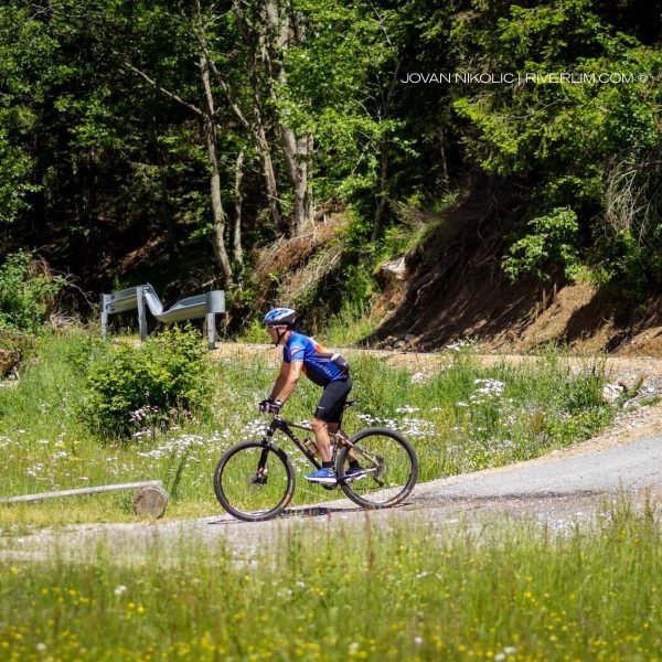
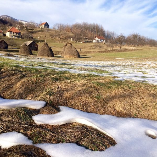
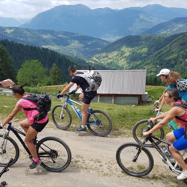
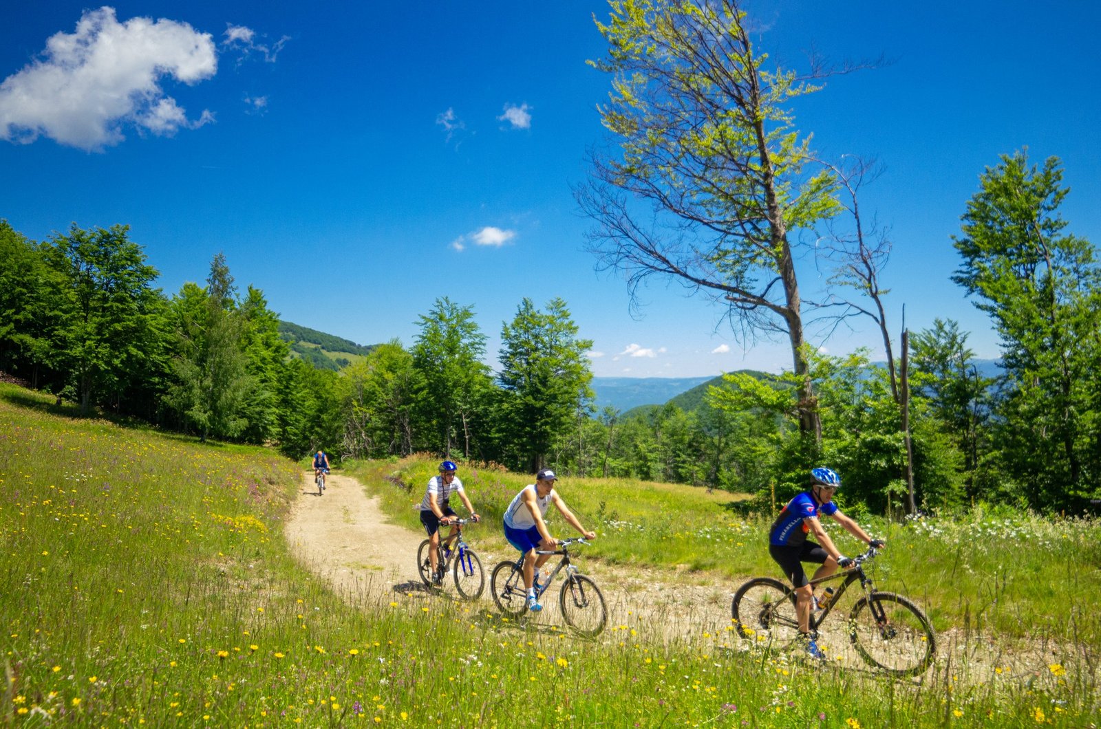
The gradient on the climb is moderate, but the ascent itself is more than 16km long. The fact that we ride mostly through the forest will help, in the shadows and in the shade, which will definitely feel good on a warm day. Some sections in the second half of the ascent are particularly beautiful, and a couple of pretty views towards the Kom Mountains will unfold in front of us.
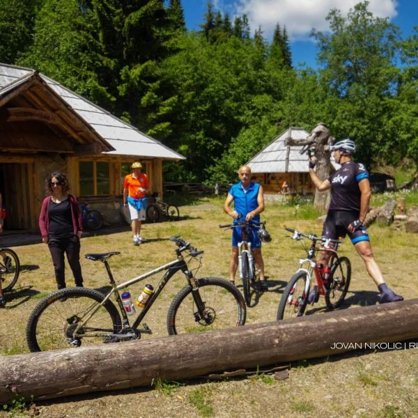
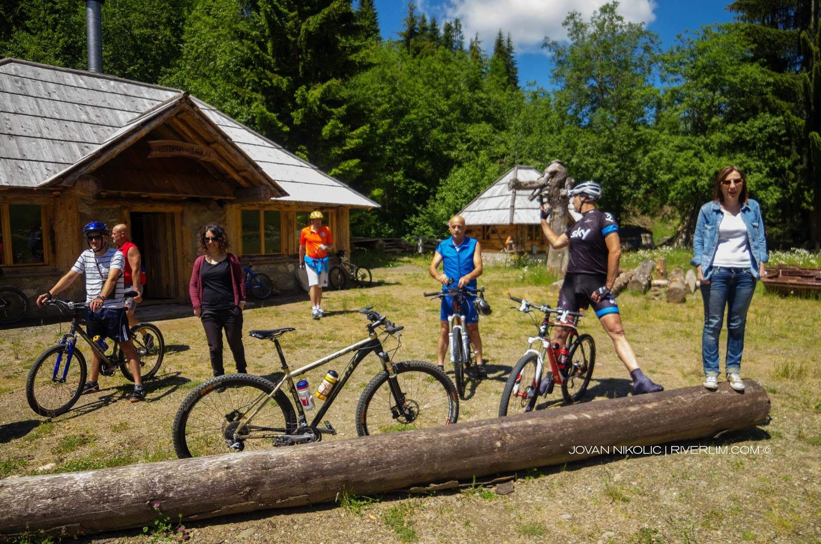
At 12.2km we go past a drinking fountain, and at 17.2km there is another drinking fountain (the Miloš Ćirović memorial drinking fountain, on the left). The final 8km towards the saddle contain eight serpentines. And as with Alpine serpentines, here each one has its own story, we experience each one in a slightly different way from the previous one, on each one our tired legs and lungs will start complaining in a different way. Nevertheless, everything is forgotten on the mountain pass (at 18.3km) and again, like all other nice mountain passes in the breathless, gasping world of the cyclist, this also has everything necessary to remain as a lovely memory: enough open space, a more than fair share of beautiful views, and a place where one can sit, drink or snack on something, where one can exchange gasps, congratulations and cries of “We survived it!” with travelling companions and where one can fulfil that sacred duty of responding to the questions of surprised locals (“Is somebody paying you to do this?”). Here that place is assumed by the famous Savo’s Pub: always open, and roomy enough to allow tired travellers to unwind.
For those who might decide here that it has been more than enough progress for one day, right behind the pub are the “Eko-turs Komovi” cottages, a katun (a summer shepherd’s settlement) and Trešnjevik eco-hut, where one can stay overnight. (If one continues in that direction for another few kilometres along the asphalt road, one will reach Štavna Eko Katun – more details about it are given in the description of Route AN 05.)
And to continue the route one should proceed along the road towards Mateševo, but for less than a hundred metres: then we turn right, onto the macadam road towards Lisa Hill. After that, we still have about a kilometre of intense ascent, to the very top of Trešnjevik Hill (those who go via the asphalt road towards Andrijevica or Mateševo never actually reach the summit, the place the mountain pass is named after). Then progress becomes easier, and is very interesting as well: gently going uphill along the narrow crest of a ridge dividing the world into two parts: one in which Andrijevica is located down below, and the other where, far below, is Mateševo.
Once we go past the Zdravko Kuburović memorial drinking fountain (at 21km) the area becomes completely open, hills and plateaus are predominantly covered with grass only, meaning that it offers a stunning view. First we can enjoy the view of the nearby magnificent Kom Mountains blossoming in the sky, but also the peaks of the Prokletije Mountains sticking out behind them, then that of Mt. Hajla to the east, the top of Mt. Bogićevica far away to the southeast, there above the invisible town of Plav. (Don’t worry, our network of routes will take us there, as well). To the north, straight in front of us, the view towards Mt. Bjelasica is blocked by the large pyramid of Lisa Hill. On the right, towards the east and Andrijevica, the narrow wooded valley of Gnjili potok (Rotten Brook) descends: if we look carefully, in it we will also see the sections of the asphalt road we have been climbing up for such a long time to reach Trešnjevik. It is nice to see them, now below us, rendered meek and harmless by the height from which we look at them.
At the 21-kilometre point we go past a large katun, in a lovely setting known as Prisojački (or Đeković) katun. A kilometre further on, right at the foot of Lisa Hill in a place called Jovanov grob (Jovan’s Grave), there is a junction at which, if we went straight on we would start Route AN 04. It leads to Krivi Do Mountain Hut on Mt. Bjelasica, and then descends to Gradišnica Valley where it reconnects with Route AN 03. Therefore, we can choose how to continue our journey: this time we will stay on AN 03, meaning that here we should turn right, leaving Lisa Hill on the left.
The junction is also the highest point on Route AN 03: an altitude of 1,735m. Starting from Trešnjevik, the macadam is generally good all the time with just a few short poorer sections. From here to the end of the route we will descend almost all the way – nearly 22 kilometres!
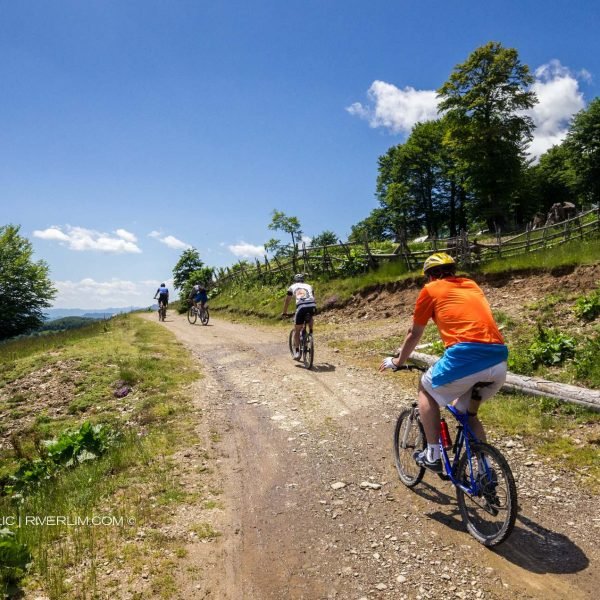
Slightly more than 600m after the junction on Lisa Hill we reach a place offering a remarkable, maybe even the most beautiful view of the Kom and Prokletije Mountains. Right after Kokošinja glava (Hen’s Head) the road becomes a farm track (at 25.5km). We still ride along the narrow ridge, first through forest and then along open terrain (with wonderful landscapes), descending slowly towards Rudo brdo katun (at 26.3km). Near the katun we pass a nice grassy section through a meadow, and then again a patch of woodland.
New fascinating landscapes appear above the katun – an open grassy carpet, the horizons sparkling all around, and one is still living off the hard work put in on Trešnjevik: downhill, downhill… Below the peak of Rudo brdo we go past another katun (at 28.5 km), the descent becomes even steeper, and we soon fall into the narrow Gradišnica Valley.
At a place called Zekova česma (Zeko’s drinking fountain) (there is a spring on the left above the road) we come to a very good asphalt road and turn right, towards Andrijevica. Only a few hundred metres further on Mašović drinking fountain is located (also on the right).
In this area we will certainly not stay thirsty long – at 33.1km there is another spring, Jukića česma (Jukić drinking fountain). And the ride through Gradašnica is exceptional: a gentle descent, enchanting greenery and the sweet smell of pine forest, the interplay of light and shadows on the road, a stream spinning around our legs… Going around the huge conical mass of Žoljevica, we will be through with this pleasure sooner than we want to, and reach the already familiar junction in the hamlet of Površe, near the new church – and there we connect with Route AN 02.
Now all that remains is to end the long descent from the high world of Lisa Hill going in the opposite (easier) direction from that described in AN 02, so we will very soon find ourselves in front of the Komovi Hotel, in the centre of Andrijevica, at the starting and finishing point of this grand tour.


