


This route will take us to a “secret” corner of Mt. Bjelasica and enable us to feel the atmosphere of this magic mountain. Then it will lead us along a high ridge over Pobodenjak Peak, and finally, down into the lovely Gradišnica Valley – a lot of attractions on less than 30km of road. An average fitness level is required (those who are at that particular fitness level will have to push their bike for a short distance in a few places) but if we take into account that one has to get here first, the fitness level required could be defined more accurately as “very fit”.
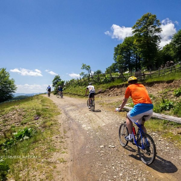
We head on from the junction below Lisa Hill, a place called Jovanov grob (John’s Grave). As mentioned in the description of the previous route, we reach this place following Route AN 03 from Andrijevica over Trešnjevik mountain pass. Now we will abandon it temporarily, heading straight on at this junction instead of to the right. The road is a macadam surface of good quality.
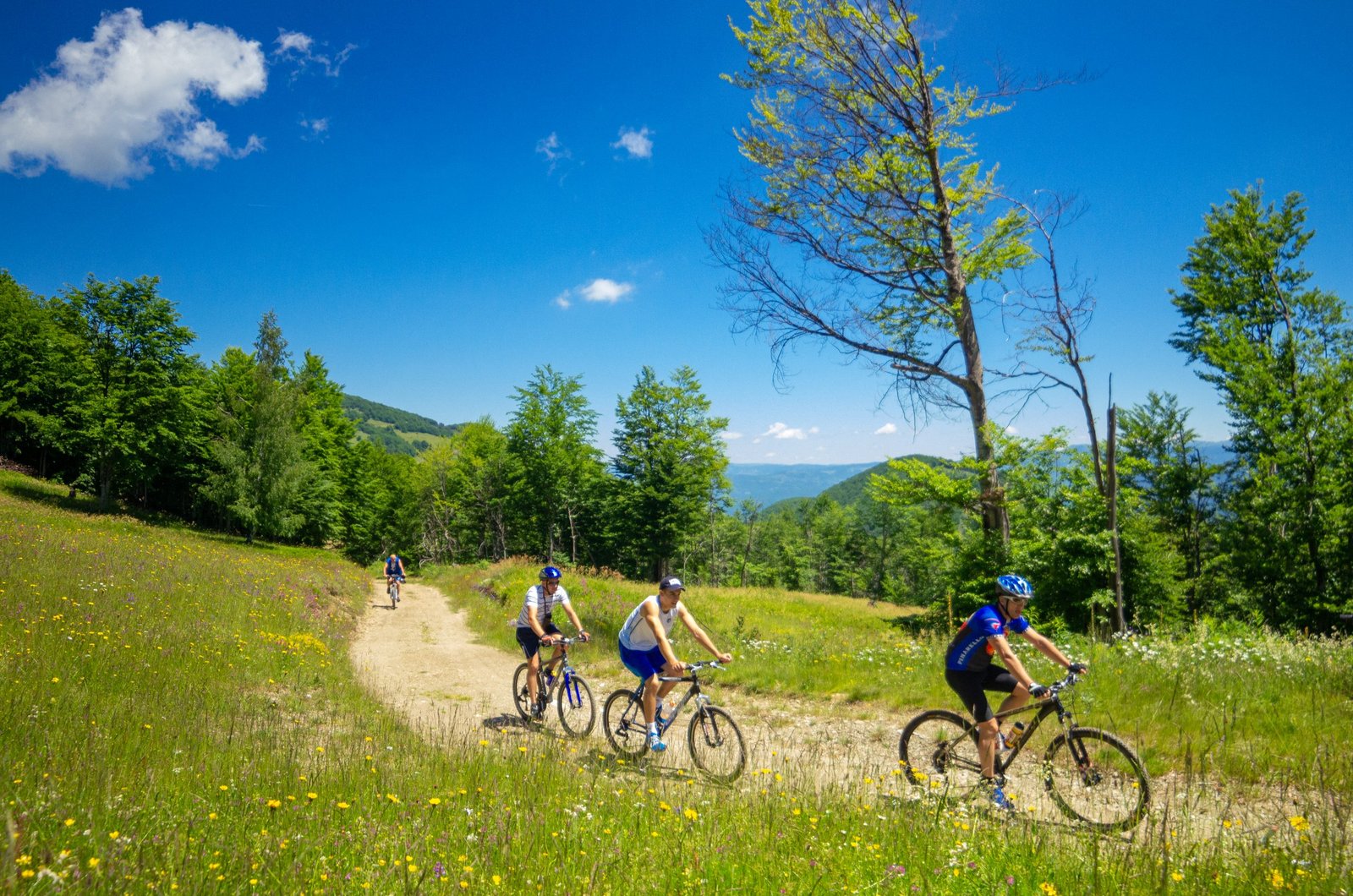
Right at the start (0.5km) we go past a mountain rest stop (on the right, 100m from the road) – affording good shelter from the rain. To the right, the peak of Lisa rises – we pass just below it, descending slowly along the bare ridgeline, through a beautiful area framed with forest on both sides. We enjoy the view of the Kom Mountains and the highest peaks of the Prokletije range and Mt. Bjelasica.
Once we go past the place where the first road for Gradišnica forks to the right and downhill (at 3.7km) we encounter the first rather hard section: about 1.8km of steep ascent to Bač Hill, on a predominantly poor dirt road. On the hill there is a junction (at 5.9km) at which we will take a sharp left, towards Krivi Do mountain hut. Later we will return here again from there.
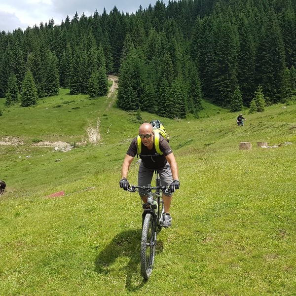
There is 3.4km to go to the hut. On the first two and a half kilometres the road winds interestingly, descending slowly down the slope of Smetine Hill towards the Krčelova voda spring (at 7.5km, on the left) and Ciganska bara (at 8.1km). Meadows and interesting relief flying freely into the distance are the basic contents of the “menu” we enjoy here. Soon it will become clear: in such areas as these we are in love with the mountain bike, and all efforts to reach them are forgotten once we sail along them. It refreshes but it does not fatten one up, totally organic and healthy, optimal in terms of energy – such is the ride on the first waves of Mt. Bjelasica.
On the final section of the descent to Krivi Do (around 800m) the road turns into a very steep, bumpy trail which is occasionally cut by deep gullies. Those who have an ambition to ride this way on their return as well should closely observe the hardest sections and plan their tactics to conquer the climb waiting for them.
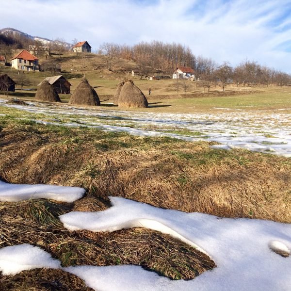
For the final few hundred metres to Krivi Do mountain hut (elevation 1,680m) we pass along the bright green bottom of the valley. The mountain hut itself is sewn on the edge of that velvet, its windows on one side flicker at us, and on the other are silent, absorbed in their thoughts before Mt. Bjelasica which slowly, like rapidly cooling lava, flows down here from Zekova glava Peak. The place is beautiful enough to easily captivate us at least until the next day, but if we stay there are a lot of things we can do: one can walk around the area, sunbathe on the terrace behind the mountain hut, our glance should constantly be on the pastures on the peaks of Mt. Bjelasica; one should cast one’s nets and take out the reflections from the magical depths below us, and the silence must constantly be broken in order to hear those we are talking with.
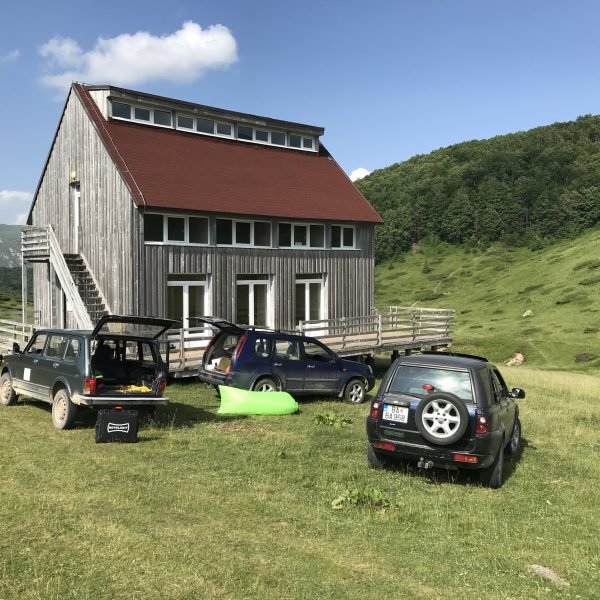
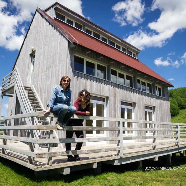
The mountain hut is a new building (opened in 2008), with a capacity of 25 beds, a dining room, kitchen and sanitary facilities. But one should keep in mind that it is open only when necessary, meaning that very likely it will be deserted once we arrive there; therefore those who plan to stay for a while here should bring along the water and food they need. (And, of course, before they leave they should remove all traces of their stay, so that the next visitors have the impression that they are the only people who have arrived here in a long time…)
On the left of the mountain hut the mountain road leads to the north, in the direction of the place called Raskrsnica (Junction) near Vranjak katun and the next mountain hut (accommodation available). From there one can descend to the west to Kolašin, or to the east, to Lubnice and Berane, so that is a chance to end our journey in a completely different way.
However, this time we will stay on our route – and we will not be discouraged at the sight of the steep section waiting for us on our return to Ciganska bara. Once we negotiate it (easier said than done…), we will continue back to the junction on Bač Hill (at 12.6km), where this time we proceed straight on – along a good dirt road which over the ridge leads towards Patkovica and Okolišta katun. Immediately we pass the slope of Zmijenica (Jelenak) Hill in which there is an interesting cave (on the left).
The road descends entering the forest at a place called Radojičin grob (Radojica’s Tomb) (at 14.3km) and brings us soon to the open plateau called Patkovica (at 15.4km) and to Velje brdo (Big Hill). In the local portion of lovely vistas, the crown of the Kom Mountains will again be the main reason for us sighing in admiration.
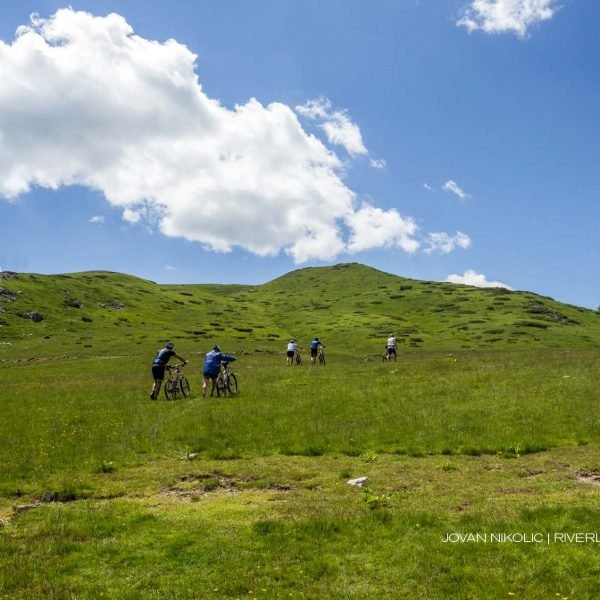
From Velje brdo a moderate ascent starts in the direction of the east, towards the highest point on this route, just below Pobodenjak Peak (1,825m). On our way we go past Okolišta katun (at 16.9km), of which we will not see very much, then partly through the forest and partly through the meadows, over Kršnjata glava, we reach a large natural amphitheatre called Rujišta. At 19.6km there is another place with a beautiful view of the Kom Mountains as well as the scrubland of Gradišnica Valley and Lisa… But while we are enjoying it, the ascent becomes more demanding – the ridge turns towards the south and eventually “attacks” Pobodenjak Peak. In a large curve we follow the contour of our amphitheatre searching for special box seats from which we will best watch the magnificent concert of nature – a harmony of sky, mountains and the quiet humming of wild flowers.
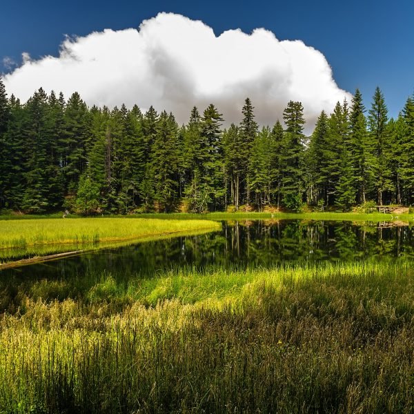
If at 20.3km we leave our bikes and go through the vegetation on the left side of the road we will come to the edge of the ridge from which we will see the tiny Čukića (Ševarinsko) Lake sunbathing cautiously some hundred metres below in its gentle nest. But be quiet – if we scare it, it will flit and fly away somewhere.
And here we are already on Pobodenjak Peak (at 20.8km), at the end of the ascent and at the junction at which we will turn right, onto a poorer road (to the left a better road goes to Cvijetnice). A few hundred metres further on there is a place from which we can see part of Andrijevica, and confirm that it is still waiting for us. Just after that we pass the junction where, to the left and back the trail towards the lake forks off (about 800m of easy ride). It is worth stopping and going there to look it closely, maybe to take a nap or have lunch by the water. But be quiet – if we scare it…
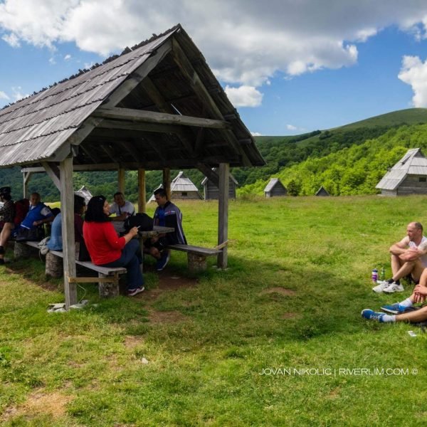
And slightly further on (at 21.7km) there is a secluded katun which on the left above the road offers its furniture: wooden tables and benches, and a canopy charmingly put together in a similar style. So even if nobody is there we will anyway take a nice rest break there, and if with a little bit of luck we find the kind hosts there, we will not leave the place without refreshments.
From this katun we descent along the “spectators area” of the amphitheatre, no doubt facing towards some stage for performances given by the mountain nymphs and elves which must be somewhere here, but which we will not see: we go through the dense forest of Rujište. The descent from Pobodenjak Peak to Gradišnica Valley is around 7km long.
At the beginning of the 24th kilometre from the start a dirt road turns into a macadam road, whereas at the beginning of the 27th kilometre we join the asphalt road which leads along Gradišnica Valley. When there is enough water, Veški potočić (a brook) on the final kilometre before the asphalt, runs partly by the road and partly over it, so in certain places we will have an interesting experience of riding over a carpet of water.
The section through Gradišnica is great: a new asphalt road on which we will rarely meet any vehicle, an easy descent, irresistible surroundings… What could one wish for on a lovely day and at the end of an exciting tour, if not such magical, pleasant relaxation?
About 1.8km after joining the asphalt we reach Zekova česma (Zeko’s drinking fountain). There we reconnect with Route AN 03, and then ride to Andrijevica as described in the text for that route. (Only some hundred metres after Zeko’s drinking fountain, on the right, is the Mašović drinking fountain).


