


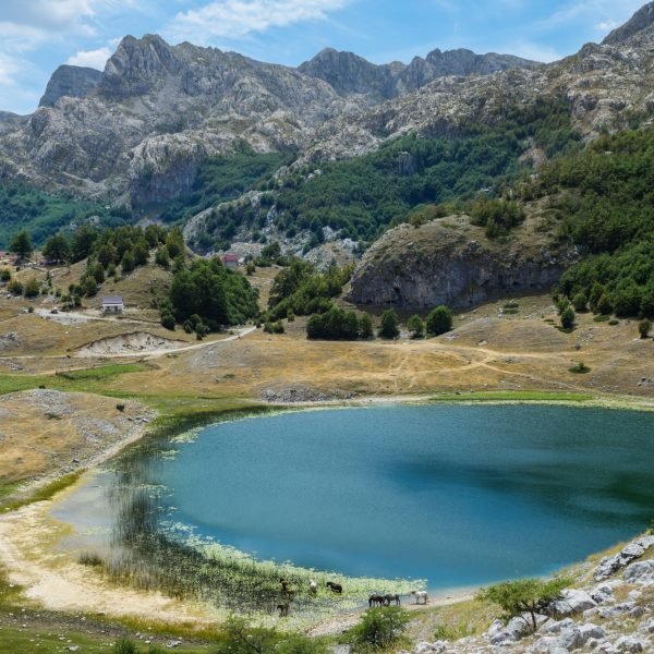
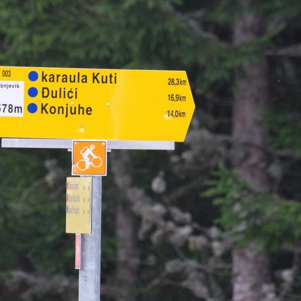
Five biking trails connect the best that Montenegro has to offer – from attractive and diverse mountains, glacial lakes, mountain rivers, the Adriatic Sea to important cultural and historical monuments, picturesque villages where you will meet friendly hosts and experience what traditional Montenegrin hospitality is all about. Although all trails are marked, do not travel without GPS logs; weather conditions or human negligence are common causes of damaged signage. We present you trail TT2 – North discoveries.
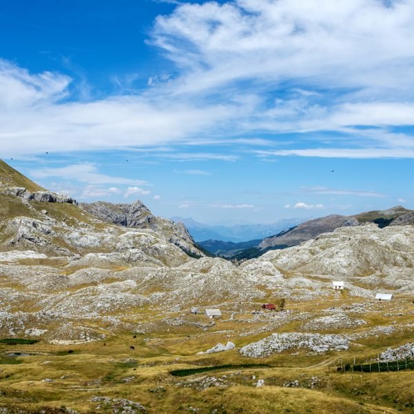
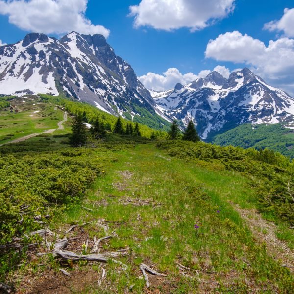
Departure from the town of “beer and steel” through the wild areas and a good climb over Golija mountain. In some places, the asphalt road replaces the macadam road, so the equipment should be checked before departure. We are probably visiting the most beautiful places in Montenegro. The last conquered canyon in Europe, the UNESCO protected National Park, one of the largest bridges in Europe listed among 10 most beautiful in the world, and one of the three preserved rainforests in Europe of the Biogradska Gora National Park and many other beauties along the trail will leave you breathless. Along this section, you will come across authentic katuns offering traditional dishes and produce.
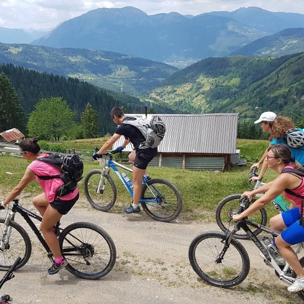
Completing the TT2 Route (as well as other Top Trail Routes) is not easy. In order to tackle it one needs a good, if not top-level fitness – but far more important is positive approach, determination and good planning, so that we always have sufficient time for more difficult sections. The areas through which we will pass through will continue to thrill and inspire and inspire us. We will also visit some of the most beautiful places in Montenegro.
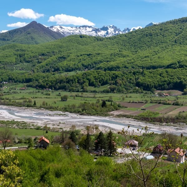
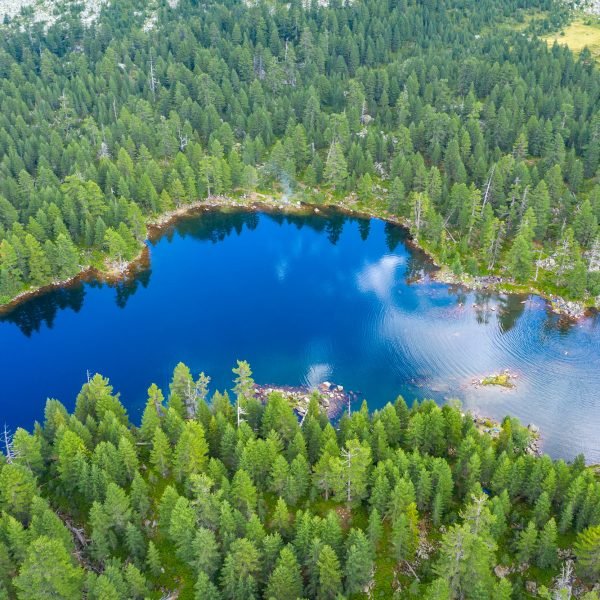
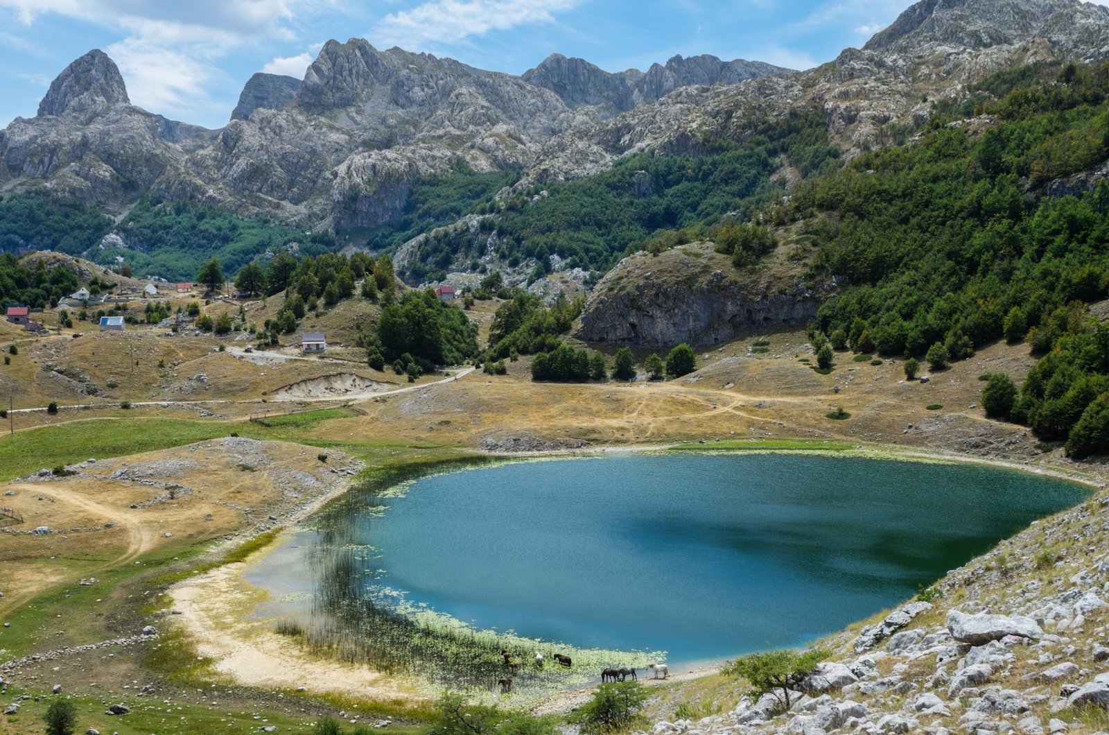
Departure from Nikšić, town of “beer and steel” and the seat of one of the most famous cycling clubs in Montenegro, Perun, through wild landscapes and a good climb over Golija Mountain. In some places, the asphalt road replaces the macadam road, so the equipment should be checked before departure. We descend slowly towards Nevidio canyon, which is the last conquered canyon in Europe – only in 1965. From here, we have another ascent to Žabljak and the Durmitor National Park. Žabljak is one of the largest tourist centres in the north, both in winter as a ski resort and in summer due to the large number of lakes and peaks, untouched nature, which is on the UNESCO list of natural and cultural heritage.
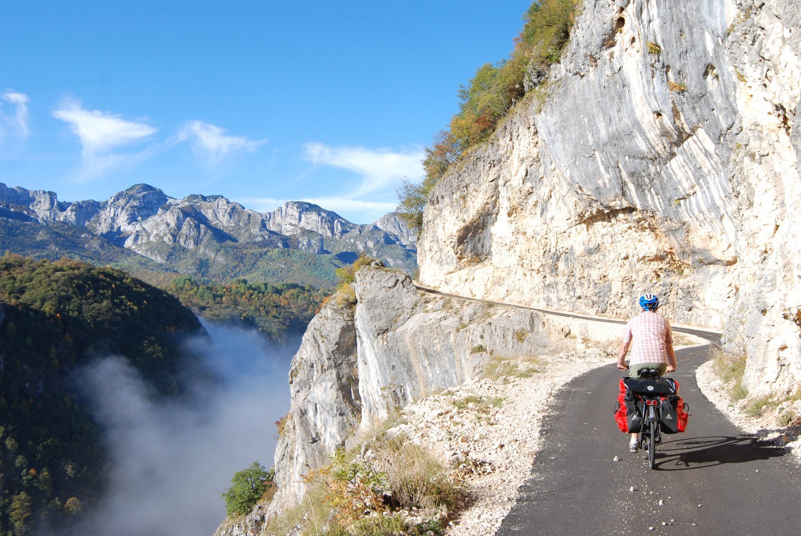
An easy section of the asphalt road descends towards the Bridge in Đurđevića Tara, which stands out with its beauty. It is located 172 meters above the Tara River, and at the time it was completed this bridge was the largest traffic concrete bridge in Europe. The Tara Bridge has always been a great inspiration to many artists, and its majestic beauty has been admired even by world-renowned architects and engineers. This is supported by the fact that it is included in the list of 10 most beautiful bridges on the planet.
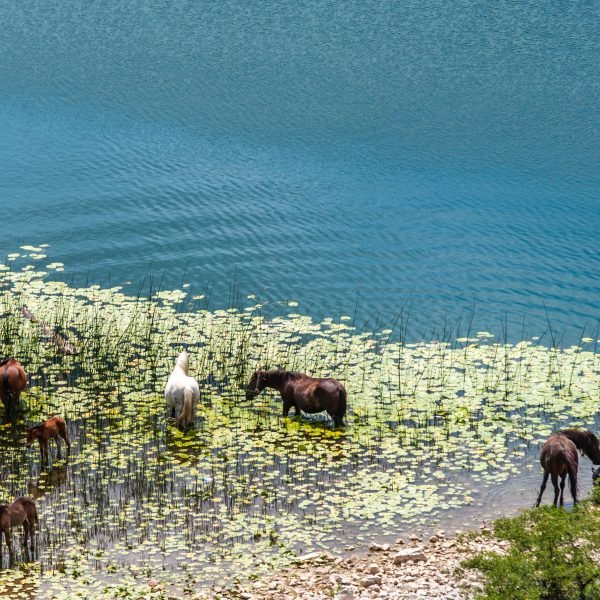
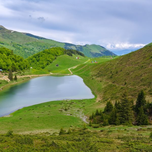
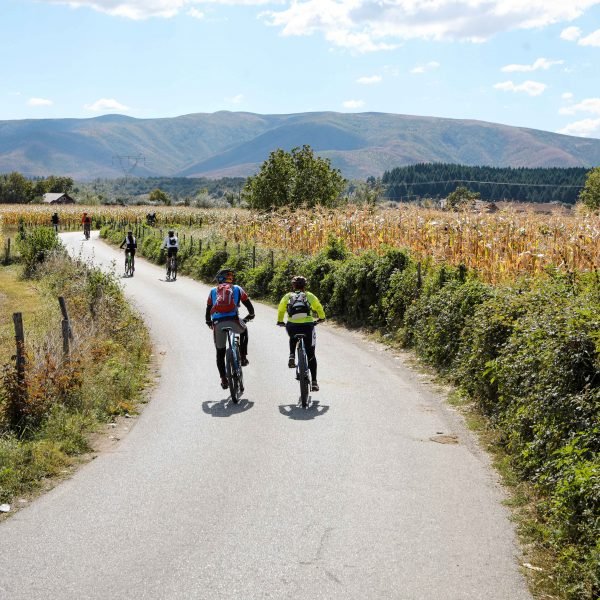
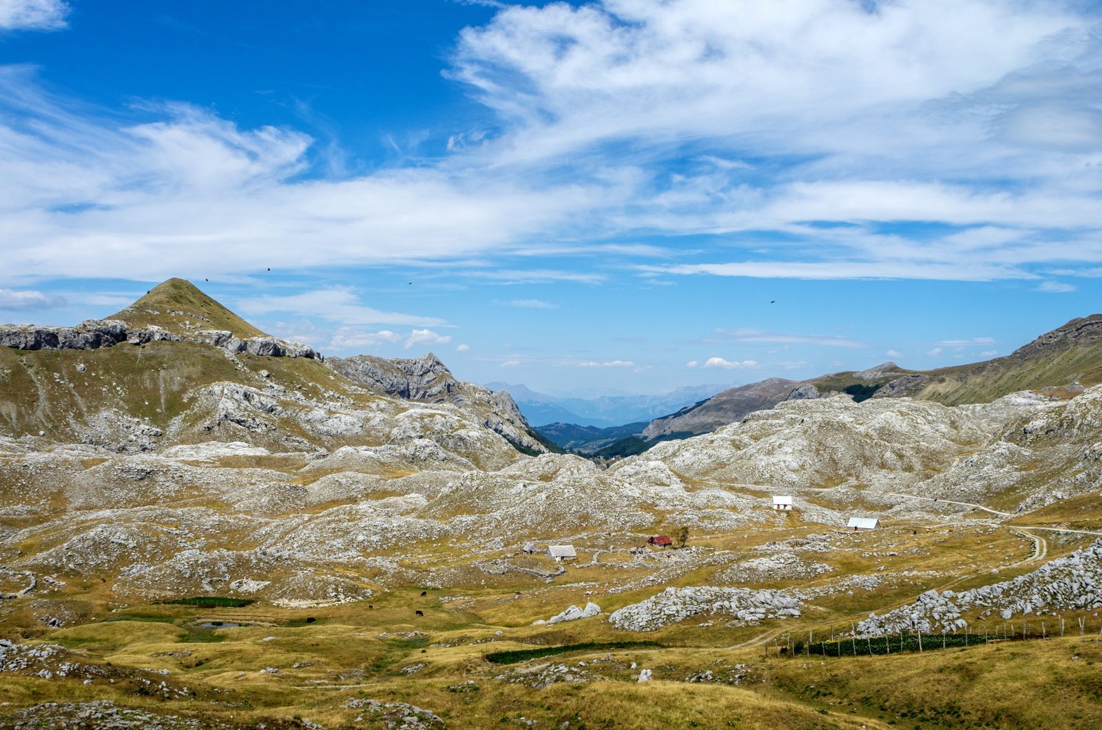
The trail continues to the Biogradska gora National Park and Bjelasica Mountain. Along this section, you will come across authentic katuns offering traditional dishes and produce. With a full stomach, we continue across Moračka mountains and a beautiful view of Morača Canyon. The climb that follows will reward us with magical vistas. After enjoying the view, we descend to the place where we started.
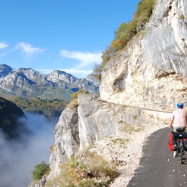
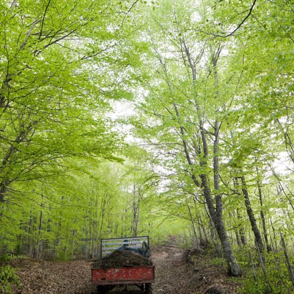
Another trail that takes us through wild and harsh parts of Montenegro, at times tame, that makes us wonder if we have really returned to the real world.
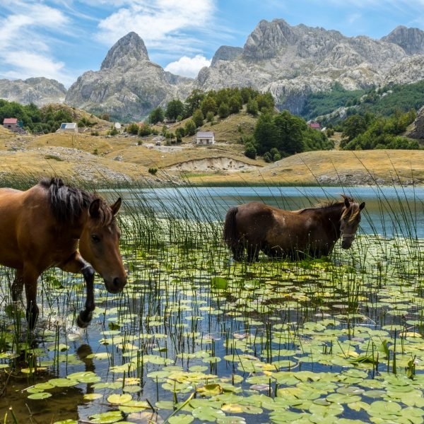
Safety tips: if the weather is good, we feel well and know where we are, we are safe on this route. There is no need to worry about wild animals, and the people we will meet will be more than kind and ready to help. In katuns and villages, we can count on endless hospitality. On the tour, we will also pass some sections on which the traffic might be heavy, especially in peak tourist season, so one should ride carefully along those roads. Due to the remoteness of many sections, it is recommended to ride in a group, and as a minimum of equipment you should have a map and compass (or better yet, GPS device), mobile phone, flashlight, basic bicycle tool, and spare tire.


