


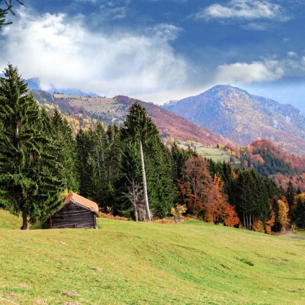
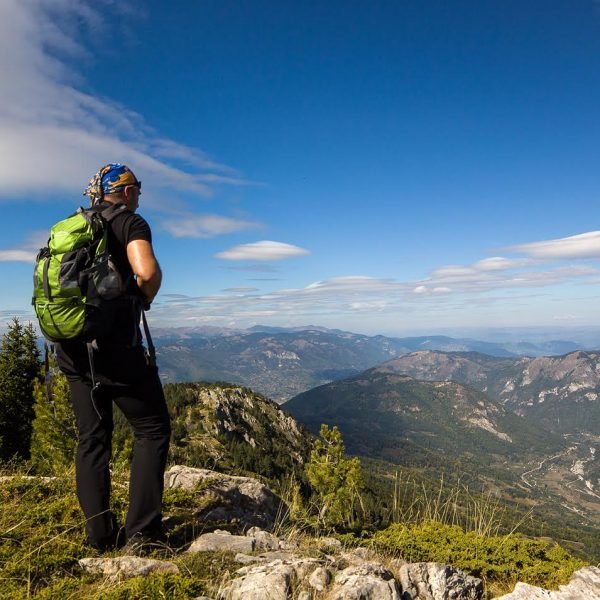
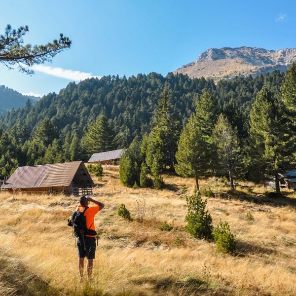
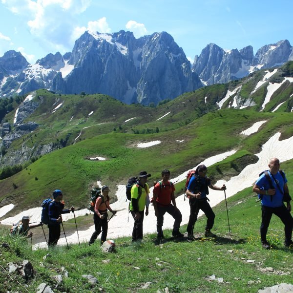
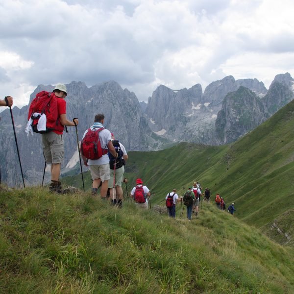
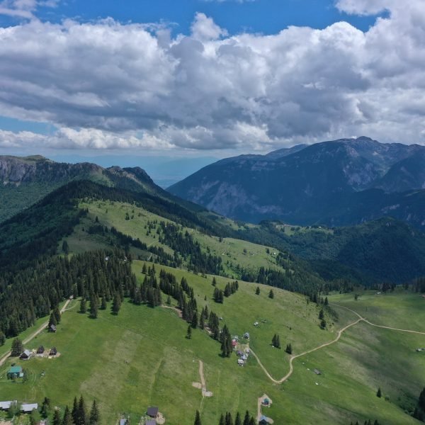
The trail for summiting this peak begins in the city of Peja and continues to the mountains overlooking the city at an altitude of 2,461 m, hence no transport is required. It is part of the Accursed Mountains group of peaks and stands on the southwestern direction from the city centre. The trail begins by following the pedestrian pathway known locally as the Health Trail, then connecting to the path that leads to the hillsides southwest of the city, proceeding through pine forests and arriving at the Saka’s Meadow which is rich is flora and fauna. It is from this point that the ascend along the trail becomes steeper and more challenging, to reach the mountain of Tarabosh and the Adil’s Meadows which stand at higher altitudes and offer great locations for resting during this climb, before reaching the summit of the Çfërla Peak. Along the trails you also be able to see many seasonal shepherd settlements, and many panoramic views of the Dukagjini Flatlands and beyond, and on a clear day most of Kosovo’s territory to the south and east of the peak, and beautiful mountain ranges of the Accursed Mountains extending towards Montenegro and Albania on the north and west side of the peak.
- Length: 14.2 km
- Minimum altitude 520 m / maximum altitude 2,461 m
- Difficulty: Moderate (suitable for mountaineers of all ages and visitors who are in good shape and are familiar with hiking, while during the winter season more technical skills are required)
- Duration: 7:30 h

