


Via Dinarica is a concept that connects seven countries and territories through which the mountain range of the Dinaric Alps stretches: from Slovenia to northern Albania.
Via Dinarica is the route intended for mountaineers, cyclists and other excursionists who visit the Dinarides as tourists, but it is also a platform for development and improvement of living conditions for people living in these areas.
The Via Dinarica road consists of three main directions (corridors). The blue line follows the Adriatic coast connecting the coastal series of Dinaric mountains; the white line encompasses the high Dinarides, and the green line the inner Dinarides.
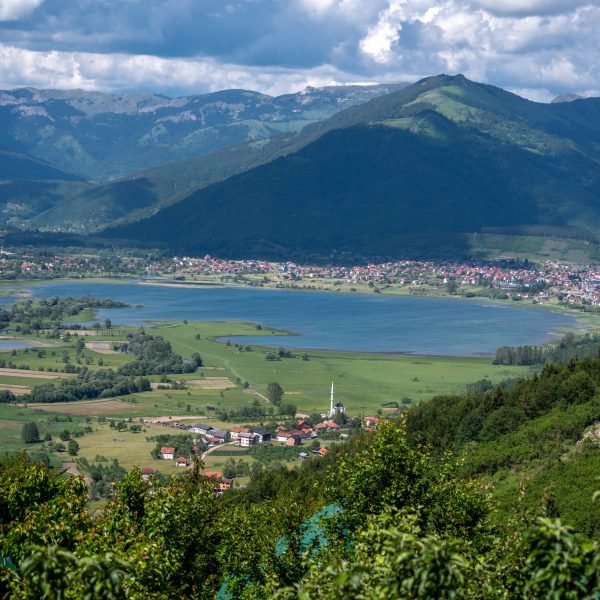
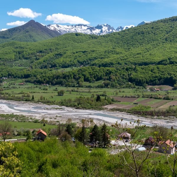
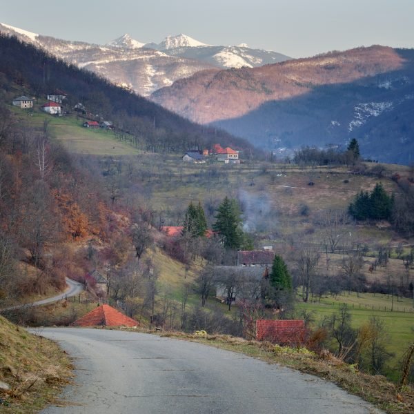
It stretches through Montenegro for about 600 km, passing through three National Parks: Durmitor, Biogradska Gora and Prokletije, and continues towards Kosovo through the Bjeshkët e Nemuna National Park.
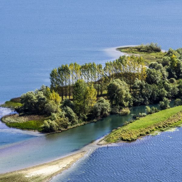
Via Dinarica through Montenegro connects probably the most beautiful mountain areas located in this area. From UNESCO-protected national parks, glacial lakes, clear rivers, over endless pastures and preserved rainforests to the Accursed Mountains. The name itself explains the nature of this mountain, which you will see for yourself.
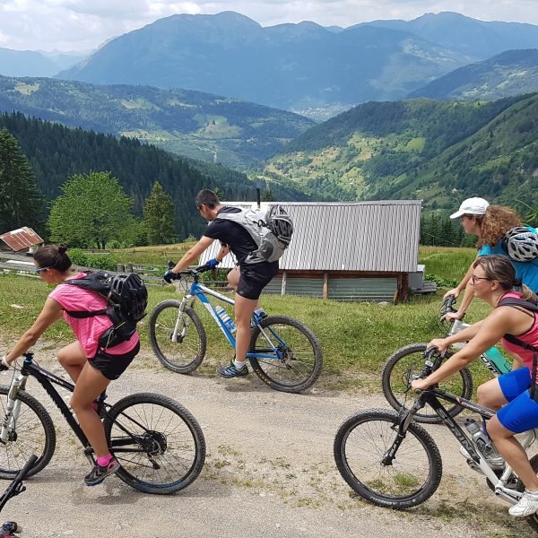
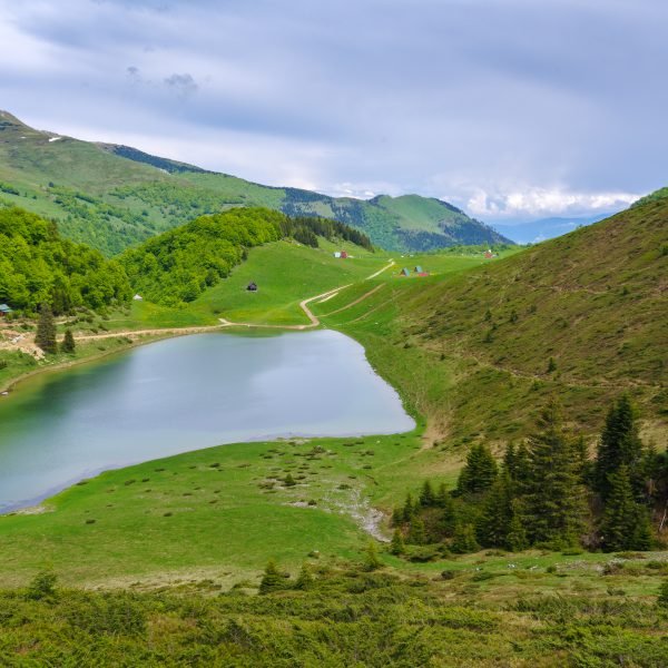
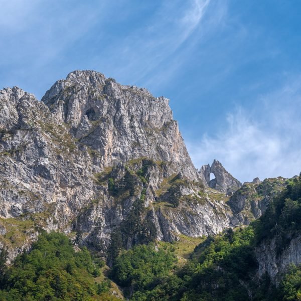
At the very entrance to Montenegro from the direction of Bosnia and Herzegovina, one enters area of the Durmitor National Park, which is on the UNESCO list of world natural and cultural heritage. A large number of lakes and peaks with an incredible view will enchant you. Town Žabljak, at altitude of 1456 m is in the heart of the national park, and it has title of the highest inhabited place in the Balkans; in the town, you can find a diverse tourist offer. Further on the trail leads us over mountain Sinjajevina and its endless pastures towards Biogradska gora National Park and mountain Bjelasica, which is also adorned with many glacial lakes. In the katuns, you can try traditional produce and food typical of this area. Then through the Komovi Nature Park, the trail goes to the Accursed Mountains. The highest peak of Montenegro is located on the Accursed Mountains (2535 m). There are as many as 50 peaks higher than 2000 meters and 20 peaks above 2500 meters.
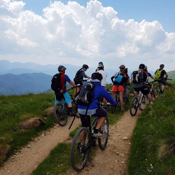
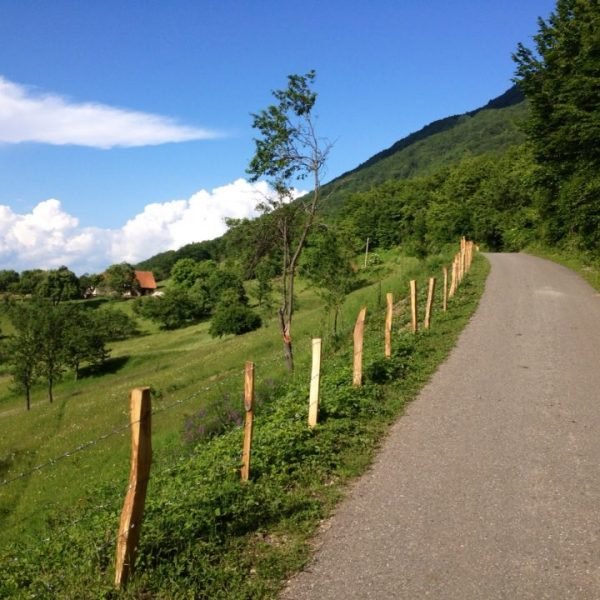
You can go through the whole trail or visit parts of it. You need to carefully plan your trip and arrange accommodation in advance, both in mountain lodges and in rural households along the trail.
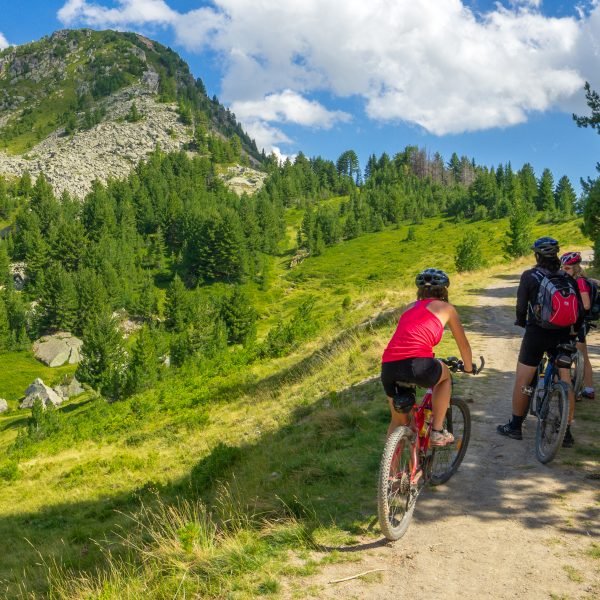
Safety tips: if the weather is good, we feel well and know where we are, we are safe on this route. There is no need to worry about wild animals, and the people we will meet will be more than kind and ready to help. In katuns and villages, we can count on endless hospitality. Due to the remoteness of many sections, it is recommended to ride in a group, and as a minimum of equipment you should have a map and compass (or better yet, GPS device), mobile phone, flashlight, basic bicycle tool, and spare tire.


